Geographic Information Services (GIS)
Enter the interactive GIS page.
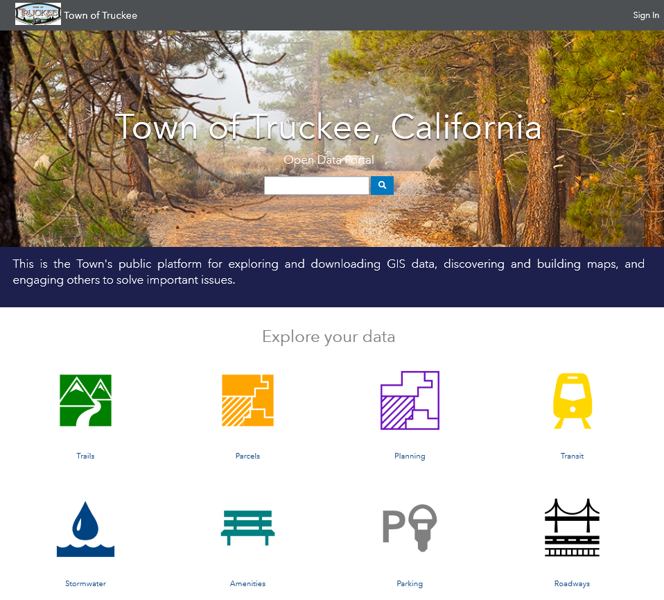 Open Data Portal
The Town's public platform for exploring and downloading GIS data, discovering and building maps, and engaging others to solve important issues. GIS data currently available on the portal includes: Zoning, General Plan Land Use Designations, Parcels, Roadways, Trails, Parking Meters, Transit Stops, Street Furniture and Amenities, Stormwater Infrastructure, and more.
Web Applications
Interactive mapping applications map and track the movement of the Town's sand trucks and snow removal equipment on town-maintained roads, trails and sidewalks. Time ranges are also provided enabling you to estimate when snow removal equipment was last by. This application is made available November 1st of each year (depending upon the weather of course). We recently transitioned to a new platform and have discontinued the use of the Truckee 511 application.
See Click Fix is a public-facing web application developed to encourage and enable the public to communicate issues on Town roads and rights-of-ways to the Department of Public Works. This application is directly linked to the Public Works Road Division Asset Management Database and generates real-time emails to staff. Staff immediately generates service requests from the emails and forwards them to department supervisors for action and or responses as required.
Interactive Web Maps
"My Town of Truckee" is a publicly accessible map that allows users to query data, turn data layers on and off, and to print pdf maps.
The interactive Town of Truckee Trail Map provides maps for Truckee trails, including access information, trail class type, difficulty levels and trail length. Also provided is a detailed description providing unique information about each trail.
There are more interactive maps found within the "Mapping Application" page. See the menu on the left side of the page.
PDF Maps
The PDF Maps page includes links to some of the most commonly requested maps.
All information is provided as a public service and should be accessed at the user's own risk. The Town of Truckee makes no representations, guarantees, or warranties, as to the accuracy, completeness, reliability, suitability or timeliness of any and all of the information available on this website or any site that can be accessed from this site.
For additional GIS resources see Nevada County GIS or Placer County GIS.